 Catalogue PIGMA
EMODnet Medsea Checkpoint
Type of resources
Available actions
Topics
Keywords
Contact for the resource
Provided by
Years
Formats
Representation types
-
Description ot the spatial layers attributes of sea level trend for the last 10 years for the Mediterranean basin and for each NUTS3 region along the coast.
-

Description of attributes for time series of sea level trend for the last 10 yrs for the Mediterranean basin and for each NUTS3 region along the coast.
-
Description ot the spatial layers attributes of sea level trend for the last 50 and 100 years for the Mediterranean basin and for each NUTS3 region along the coast.
-
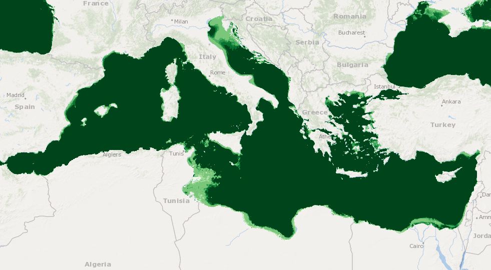
Combination of bathymetry, light, MPAs, Natura sites, seagrass distributions, Coralligenous formations, Mediterranean Cetaceans, Marine caves, Transitional water bodies
-

Description of the attributes for the time-series annual average sea level for the last 50 and the last 100 yrs for the Mediterranean basin and for each NUTS region along the coast.
-
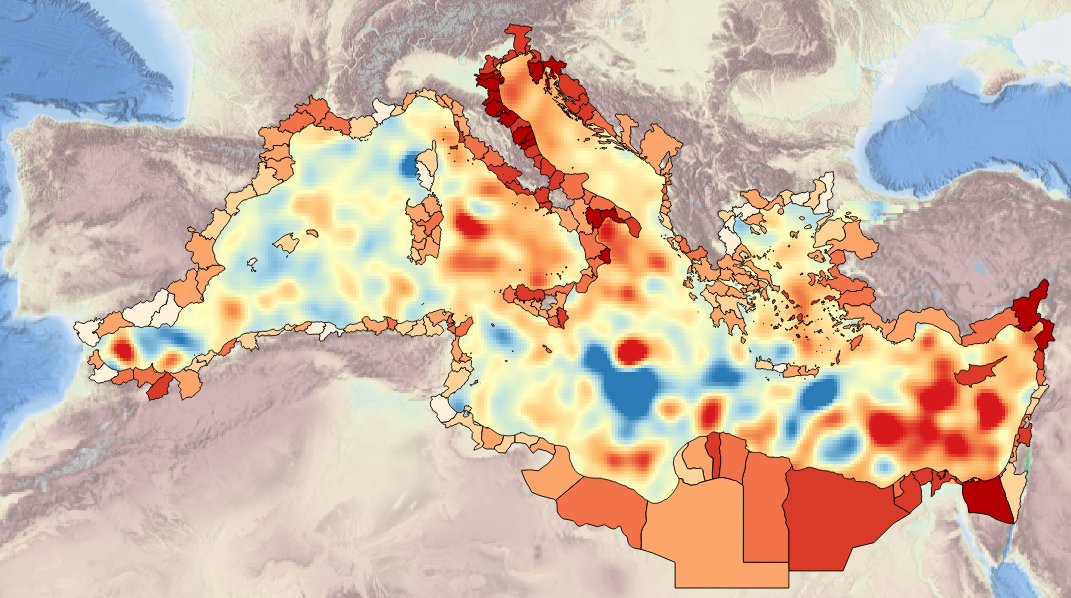
Map of Chlorophyll trends (UNITS: mg/m3/year) from L4 satellite ocean color data FOR THE PAST 10 YEARS (2005-2014)
-
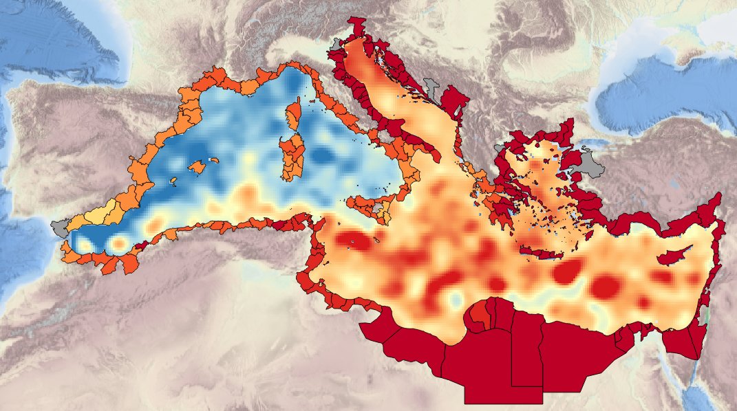
Description of attributes for time series on annual averafe mid-water and sea-bottom temperature for the last 10 years for the Mediterranean basin and for each NUTS3 along coast
-
Description of the attributes for the time-series of sea internal energy for the last 20 years for the Mediterranean basin and for each NUTS region along the coast.
-
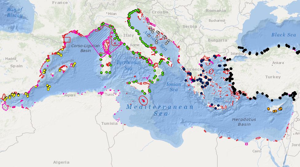
Combination MPAs and monitoring stations for biodiversity elements
-
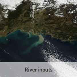
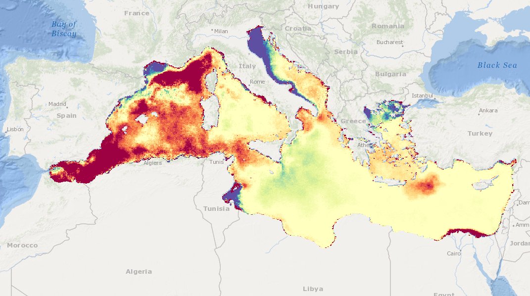
Monthly time series of Total Suspended Matter (TSM) from satellite data [mg/l]